


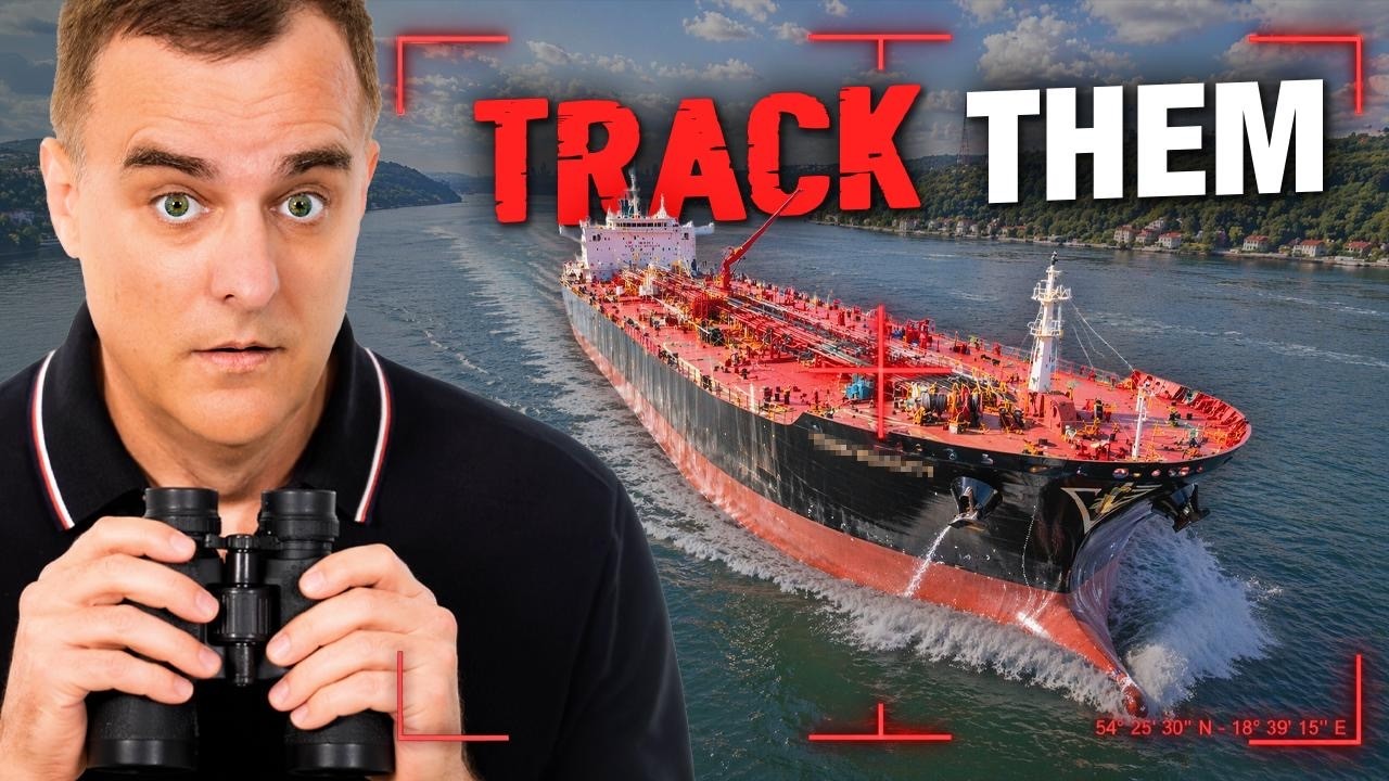


David Bombal: How to track dark ships using OSINT – (Deep-Dive)
“`html
David Bombal: How to Track Dark Ships using OSINT
ডেভিড বোম্বাল: ওএসআইএনটি (OSINT) ব্যবহার করে কীভাবে ‘ডার্ক শিপ’ বা রহস্যময় জাহাজ ট্র্যাক করবেন
Introduction: The Shadows of the Deep Sea
বিশ্বের অর্থনীতির প্রায় ৮০ শতাংশ পণ্য পরিবহন করা হয় সমুদ্রপথের মাধ্যমে। প্রতিদিন হাজার হাজার জাহাজ মহাসাগর পাড়ি দিচ্ছে। কিন্তু আপনি কি জানেন যে এই বিশাল নীল জলরাশির মাঝে এমন অনেক জাহাজ রয়েছে যারা নিজেদের পরিচয় গোপন করে চলাচল করে? এদেরকেই বলা হয় ‘Dark Ships’। ডেভিড বোম্বাল (David Bombal), যিনি সাইবার সিকিউরিটি এবং নেটওয়ার্কিং জগতের একজন কিংবদন্তি, তার সাম্প্রতিক একটি সেশনে দেখিয়েছেন কীভাবে Open Source Intelligence (OSINT) ব্যবহার করে এই আড়ালে থাকা জাহাজগুলোকে খুঁজে বের করা যায়।
In the world of maritime logistics, transparency is governed by a system called AIS (Automatic Identification System). However, for various reasons—some legitimate and many illicit—vessels often go “dark” by switching off their transponders. This deep dive explores the technical methodologies, the geopolitical impact, and the future of maritime OSINT as shared by David Bombal and industry experts.
Core Concepts: What are Dark Ships?
সহজ কথায়, একটি জাহাজ যখন তার AIS (Automatic Identification System) ট্রান্সপন্ডার বন্ধ করে দেয়, তখন ডিজিটাল ম্যাপে সেটি অদৃশ্য হয়ে যায়। একেই ‘Going Dark’ বলা হয়। কেন তারা এমনটা করে?
- Illegal Fishing: সংরক্ষিত এলাকায় মাছ ধরার জন্য।
- Sanction Evasion: আন্তর্জাতিক নিষেধাজ্ঞা অমান্য করে তেল বা পণ্য সরবরাহের জন্য।
- Smuggling: মাদক বা অস্ত্র চোরাচালানের জন্য।
- Piracy Avoidance: কখনো কখনো জলদস্যুদের হাত থেকে বাঁচতে বৈধ জাহাজও সাময়িকভাবে ডার্ক মোডে যায়।
Tracking these vessels requires more than just looking at a map. It requires a multi-layered OSINT approach that combines radio frequency (RF) monitoring, satellite imagery, and behavioral analysis.
মূল প্রযুক্তি: AIS এবং তার সীমাবদ্ধতা
AIS হলো একটি রেডিও-ভিত্তিক সিস্টেম যা জাহাজের অবস্থান, গতি এবং গন্তব্য সম্পর্কে তথ্য আদান-প্রদান করে। এটি মূলত জাহাজগুলোর মধ্যে সংঘর্ষ এড়ানোর জন্য ডিজাইন করা হয়েছিল। কিন্তু যেহেতু এটি ম্যানুয়ালি বন্ধ করা যায়, তাই অপরাধীরা এর সুযোগ নেয়। ওএসআইএনটি গবেষকরা এখানেই চ্যালেঞ্জ গ্রহণ করেন। তারা শুধু AIS-এর ওপর নির্ভর না করে Synthetic Aperture Radar (SAR) এবং Electro-Optical (EO) স্যাটেলাইট ইমেজ ব্যবহার করেন।
The OSINT Methodology: Demos and Tools
In his compelling video, David Bombal demonstrates how investigators use specific platforms to cross-reference data. One of the primary tools mentioned is MarineTraffic or VesselFinder, which provide real-time AIS data. But the real magic happens when you correlate this with SkyLight or Global Fishing Watch.
স্যাটেলাইট ইমেজের মাধ্যমে যখন দেখা যায় কোনো জায়গায় একটি জাহাজ উপস্থিত আছে, কিন্তু AIS ডেটাতে সেখানে কিছুই দেখাচ্ছে না, তখনই সেই জাহাজটিকে ‘ডার্ক শিপ’ হিসেবে চিহ্নিত করা হয়। বোম্বালের ডেমোতে দেখানো হয়েছে কীভাবে একটি নির্দিষ্ট স্থানাঙ্ক (Coordinates) ধরে জাহাজের গতিবিধি বিশ্লেষণ করা যায়।

Technical Workflow:
- Anomaly Detection: Look for gaps in AIS transmission patterns.
- Satellite Correlation: Use SAR imagery (which can see through clouds and at night) to find physical metallic objects in the ocean.
- Visual Identification: Use high-resolution optical satellites to identify the ship’s name or IMO number.
- Contextual Analysis: Check if the vessel was recently near a sanctioned port or another ship (Ship-to-Ship transfer).
The Impact: Why This Matters
এই ট্র্যাকিং সিস্টেমের প্রভাব বিশাল। এটি শুধু গোয়েন্দা সংস্থার জন্য নয়, বরং পরিবেশবিদ এবং মানবাধিকার কর্মীদের জন্যও গুরুত্বপূর্ণ।
1. Environmental Protection: Illegal fishing depletes ocean resources. OSINT allows NGOs to track vessels entering marine protected areas.
2. Sanction Enforcement: Countries like North Korea or Iran often use “ghost fleets” to bypass economic sanctions. Maritime OSINT provides the evidence needed for diplomatic and legal action.
3. Human Rights: Many dark ships are involved in human trafficking or forced labor in the fishing industry. Tracking them can lead to the rescue of enslaved workers.
The Future: AI and Real-Time Monitoring
মেরিটাইম ওএসআইএনটি-এর ভবিষ্যৎ এখন কৃত্রিম বুদ্ধিমত্তা বা Artificial Intelligence (AI)-এর হাতে। বর্তমানে লাখ লাখ জাহাজের ডেটা ম্যানুয়ালি চেক করা অসম্ভব। এআই অ্যালগরিদম স্বয়ংক্রিয়ভাবে জাহাজের অস্বাভাবিক আচরণ (যেমন মাঝপথে AIS বন্ধ করা বা অস্বাভাবিক রুটে চলা) শনাক্ত করতে পারে।
The integration of Starlink and more affordable CubeSats means that the ocean is becoming more “transparent.” We are moving towards a world where hiding a massive steel structure in the middle of the sea will be nearly impossible. David Bombal emphasizes that the democratizing of these tools means that even a solo researcher with a laptop can now perform high-level maritime surveillance.
Conclusion
ডেভিড বোম্বাল আমাদের দেখিয়েছেন যে ওএসআইএনটি কেবল একটি শখ নয়, এটি বিশ্বব্যাপী অপরাধ দমনের একটি শক্তিশালী হাতিয়ার। ‘ডার্ক শিপ’ ট্র্যাকিং করার মাধ্যমে আমরা কেবল জাহাজ খুঁজি না, বরং আন্তর্জাতিক আইন এবং সমুদ্রের বাস্তুসংস্থান রক্ষা করি। আপনার যদি ডেটা এবং সত্য উন্মোচনের প্রতি আগ্রহ থাকে, তবে মেরিটাইম ওএসআইএনটি হতে পারে আপনার পরবর্তী গবেষণার ক্ষেত্র।
রিসোর্স এবং রেফারেন্স (Resources)
“`